Bluetide Group
Preparing marine excellence...
SUBSEA SURVERY AND POSITIONING

SERVICES
Subsea Positioning - Utilizing acoustic and inertial navigation systems, we provide accurate positioning for underwater vehicles, equipment, and infrastructure.
Geophysical Surveys - Conducting bathymetric, side-scan sonar, and magnetometer surveys to map seafloor topography and identify potential hazards.
Hydrographic Surveys - Collecting and analyzing data for water depth, tide, and current measurements.
Underwater Mapping - Creating detailed, 3D models of subsea environments for infrastructure planning and monitoring.
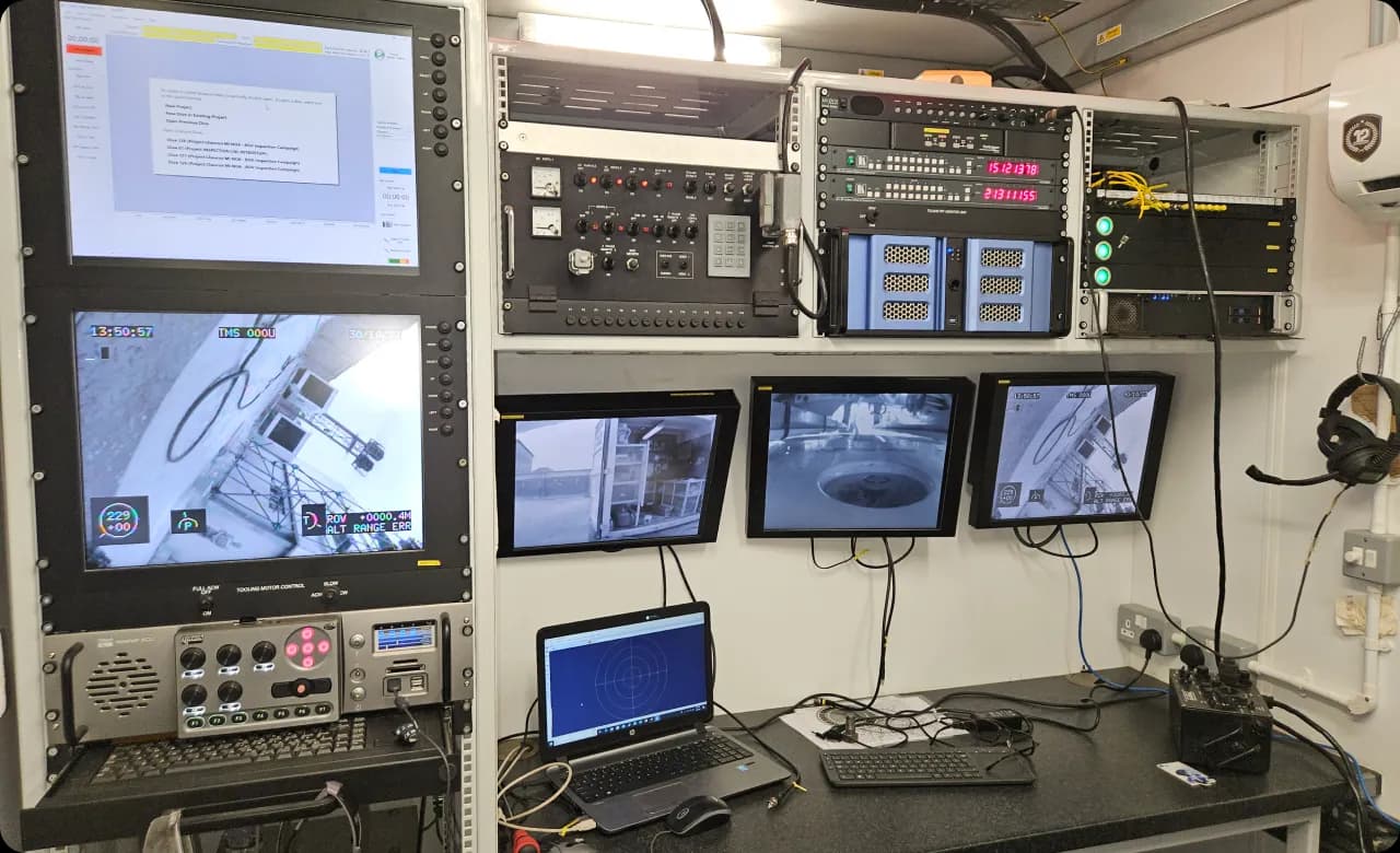
ROV and AUV Support - Providing positioning and navigation expertise for Remotely Operated Vehicle (ROV) and Autonomous Underwater Vehicle (AUV) operations.
BENEFITS
Cost-Effective - Minimize downtime and reduce operational costs.
Enhanced Safety - Identify potential hazards and prevent accidents.
Increased Efficiency - Streamline maintenance and repair operations.
Pipeline Surveys- Mapping pipeline routes, detecting anomalies, and assessing condition.
Platform and Jacket Inspections- Evaluating structural integrity and identifying potential issues.
INDUSTRIES SERVED
Offshore Oil and Gas
Renewable Energy
Construction and Infrastructure
Environmental Monitoring
Pipeline Surveys- Mapping pipeline routes, detecting anomalies, and assessing condition.
Research and Scientific Exploration
Platform and Jacket Inspections- Evaluating structural integrity and identifying potential issues.